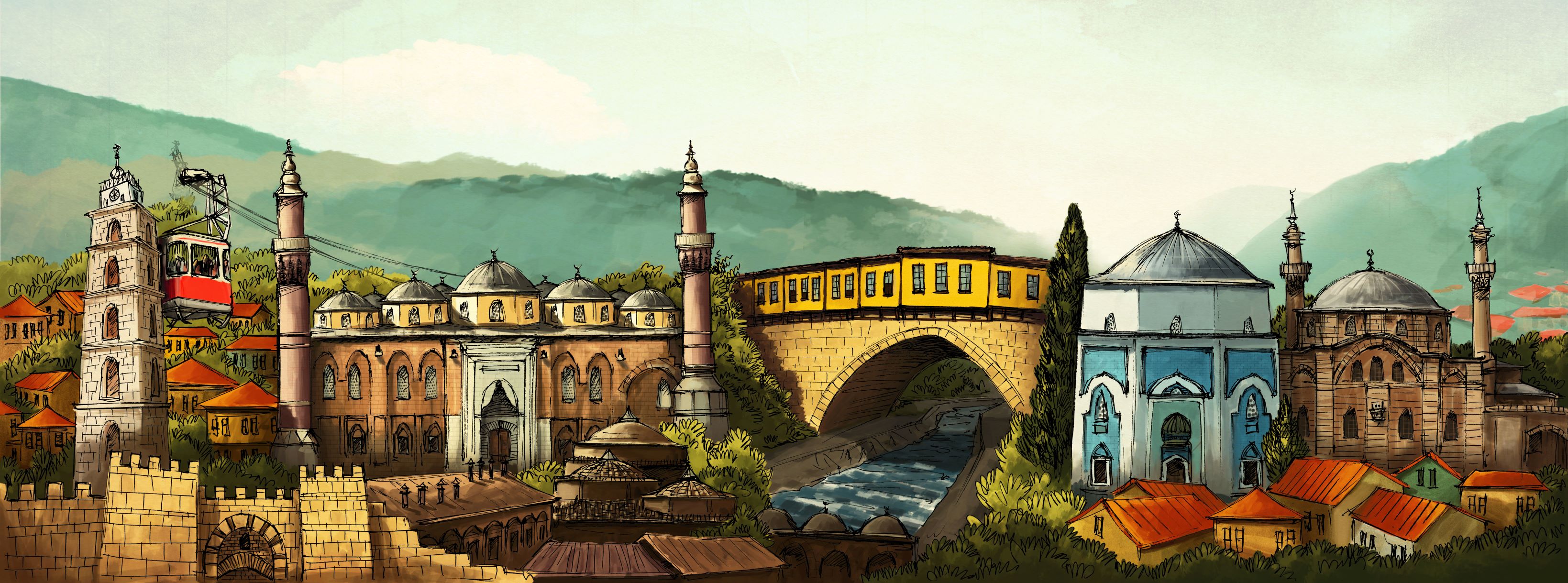
according to the 2019 census the population of the province, Bursa is Turkey's 4th largest city in Turkey with a total of 3.056.120 million. This population consists of 1,530,956 men (50,09%) and 1,525,164 women (49,91%).
Bursa province , which is located southeast of the Sea of Marmara, located between 40 degrees longitude and 28-30 degrees latitude, is surrounded by Bilecik and Adapazarı at its East, Kocaeli, Yalova, Istanbul and Marmara Sea at North, Kutahya at South and Balikesir at its West.
Bursa, with a 155 meters elevation from the sea level, generally has a mild climate. However, it varies by climatic zones. Against the soft and warm climate of the Marmara Sea at north, Bursa is confronted by the harsh climate of Uludag at south.
Hottest months of the Province are through September while the coldest are February through March. As of 52 years of observation period, average amount of annual rainfall is 706mm. Relative humidity is around 69% at the Province.
Surface shapes of the Province are in the forms of mountains with collapsed areas which are separated from each other with thresholds. Yenisehir, Bursa and Inegol plains and Iznik and Uluabat lakes are the primary collapsed areas.
Total surface area of the province of Bursa is 10,819 km² and 17% of the land is made up of plains.
Uluabat (1,134 m²) and Iznik (298 m²) lakes are within the territory of the province.
Major rivers of the province are: Nilufer Steam, Goksu Steam, Koca Creek, Kara Creek and Aksu Creek which are fed by many streams that start from the southern slopes of Uludag and again generate from Uludag and lastly Mustafakemalpasa Stream.
22 km portion of the 135 km province-owned coastal strip is suitable for use and other portions are not being utilized.
Mountains cover approximately 35% of the land. They are generally in the form of chain of mountains running across the direction of east to west. The mountains are: Samanli Mountains that are located at the west of Orhangazi and west end of Gemlik gulf extending to Bozburun, Mudanya Mountains that covers the southern side of Gemlik Gulf and separates the Bursa plain from the sea, Katarli Mountains located between the south of Iznik Lake and northern section of Bursa plain, Karadag Mountain which is the extension of Mudanya Mountains and the highest mountain of Marmara Region being Uludag Mountain (2,543 m).


